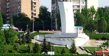
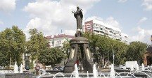
Map of Ural
Detailed interactive map of Ural. Map of Ural with streets and numbers of houses. Satellite map of Ural with sights of the city.
The change between the satellite map of Ural and the schematic one is made in the lower left corner of the interactive map.
Ural
Population of Ural: 1,666 people (2017)
Date of foundation of Ural: 1939
Phone code of the Ural: +7 39165
The car code of Ural: 24, 84, 88
The postal code of Ural: 663977
Ural is an urban-type settlement located in the Rybinsk district in the Krasnoyarsk Territory of the country. The population in 2017 was 1,666 people.
The distance to the nearest railway station called Zaozernaya is almost twelve kilometers. Since 1964, the Urals has had the official status of an urban-type settlement.
Back in 1927, a village with a single Shchetinkin Street appeared. In 1930, a poultry farm was built in the village of Ural. Then geologists found coal and opened the Yuzhnaya mine. A railway line was laid from Zaozernaya station to transport coal. A thermal power plant was built to provide energy to the mine. The mine was closed in 1956.
The largest cities in Russia:
2024 © Russia-Karta.ru
